What is a Map?
Know it All about Maps
For years, maps have been used to locate destinations and mark points. For pirates to scientists and archaeologists, maps have been of great importance due to their ability to compress information and make it easy to locate a certain object or an area.
In this article, we would try to get to know about this handy tool's uses, significance, types, reading method, and much more. So, without further ado, let's start by answering the most basic question: What is a Map?
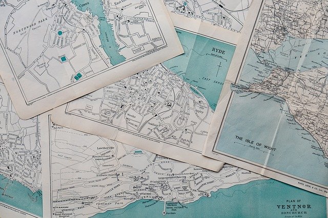
A map is a symbolic and illustrative way of emphasizing the relationship between different elements. They can represent a space or a specific object, real or fictional. Maps are usually fixed to paper or a medium but can also be interactive and dynamic. It is also important to understand that maps are a simplified way of representing a place, and small, unnecessary details are omitted to keep it easy to understand.
Maps have a rich history that dates back to 14,500 BC. The earliest maps were stars that were illustrated on the walls of Lascaux caves via dots. Cave paintings and rock carvings have also been a popular way of tracing elements back to 12,000 BC. Simple visual elements in these paintings helped in determining the area of reference. However, a map of landscape in the Czech Republic carved on a mammoth’s tusk has been discovered that is credited as the oldest map of all time.
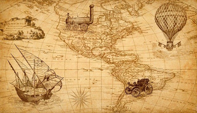
Over these years, the cartography progressed, and the maps evolved. New techniques were introduced, and cartographers started inking different landscapes and regions on paper useful for determining routes of caravans for trading and cavalry during fights. Slowly and gradually, with the introduction and progress of technology, geographical paper maps were replaced with digital maps, i.e., Google Maps. They are indeed easier and more convenient to use.
Maps are a handy tool, especially when navigating on new terrains or traveling to a certain location. They can help us find shortcuts to locations and find the ideal route for our journey. Other than navigation, there are multiple other times where maps can be pretty useful. Let's look at some of these:
With the advent of Google, we might have forgotten the basic purpose of maps. Still, maps are very important in identifying countries, states, cities, and all the information regarding them. We can easily search which states share borders and find exciting historical places and vacation spots using a map. Geography is far easier to understand, with maps enabling us to picture provinces, cities, and locations then link them to their climates and topography.
Maps are a wonderful tool to calculate the time for all countries around the world using GMT. The longitude lines on the map represent different time zones, and using that and your location, you can add up the hours to see the time difference or calculate the time in another country.
Construction and Architecture are impossible without drawing a map first. A construction map is an outline or simple design that ensures that everything is placed perfectly to prevent accidents and ensure durability. The scale and key on the maps are pretty helpful in making sure the large structure does not collapse or fall, which can lead to quite a lot of waste of money.
Now that lots of other software can be used instead of maps, maps are still used as the main navigation tool. Do you want to understand the climate of an area? Use a map. You don't know the topography of the place you're traveling, whether it's mountainous or a desert? Use a map. And if you have no idea about the prevalence of a certain disease in an area, you can look at a map showing all the hotspot areas.

The visual effect of maps is significant as people tend to understand better this way. Maps can be a fantastic tool to teach young students geography and their country's history. You can also teach them continents on a world map or strategy using some props and a map. With visual representation, it is easy to identify the relationship between the variety of elements. Thematic maps can be important, as you can use one to show different aspects of a certain continent or country like rainfall, literacy, temperature, etc.
The basic classification of maps is divided into two parts: Thematic and Reference maps. Knowing about both of them is important since it helps in choosing the correct representation for our data. So, let's have a look.
As the name suggests, thematic maps are based on a single-topic map that focuses on a specific theme like the climate or growth of a certain fruit. They are usually statistical and emphasize the attribute rather than the location.
Every map of this kind is divided into two parts: a base map and a statical data. While the latter provides data information on a certain top, the base map offers a visual representation.
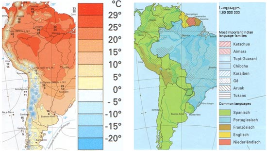
In contrast to the thematic, reference maps are more general and emphasize location. They display a variety of landscapes and distributions. It highlights the different cities, countries, rivers, mountains, and other landmarks.
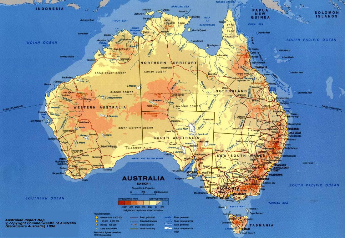
This is the foremost step of reading a map. You should know what type of map you possess. You can quickly determine it by checking if the map is specific or non-specific and includes any stats. This would help in differentiating between reference maps and thematic maps. By the look of it, you can also further classify it into different types: political map, topographic map, tourist, road, weather, population, etc.
It is a crucial step for knowing and putting the map into practice. One should have explicit knowledge about all the technicalities to interpret the information better. The main components are:
After you have understood the map terms, it is time to put your knowledge to the test and start interpreting the location. So mark your initial position, select the final position, trace the path. Identify the features on the map and use them to determine your progress.
・ Simple alternative to Visio
・ 26k+ symbols
・ 10K+ free templates
・ 10+ AI diagram generators
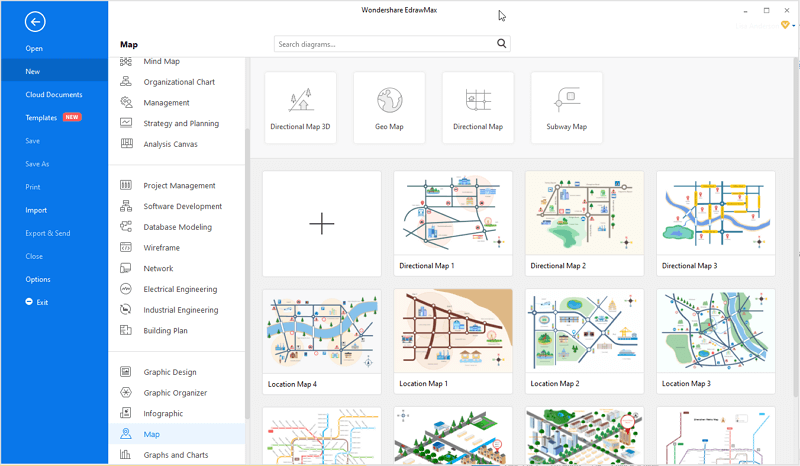
We have listed some easy steps for creating a simple map with EdrawMax .
Step 1: Download and open EdrawMax on your PC.
Step 2: Go to the search bar on the top of the home page and search for [Maps]. You can either start from scratch by clicking the (+) shaped icon or select a type of map from the given options. (Road Map, Geo Map, Subway Map, etc)
Step 3: Your selected map will open in a window. From the pane on the left, you can choose the map of a specific region. You can pick and drop the maps of related areas on your canvas.
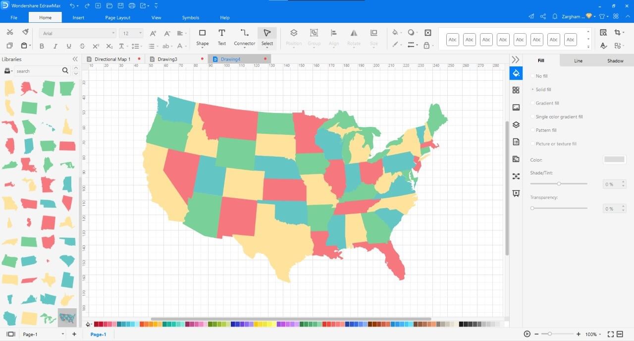
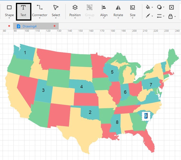
Step 4: By using the editing tools on the right pane and top of the page, edit your map. Select a state and add numbering to it or change its display color. You can also add text, statistics, and much more.
Step 5: After you are done, click on the Save button on the right side of the top menu. A window will appear. Browse a location on your desktop and save your work locally on your PC.
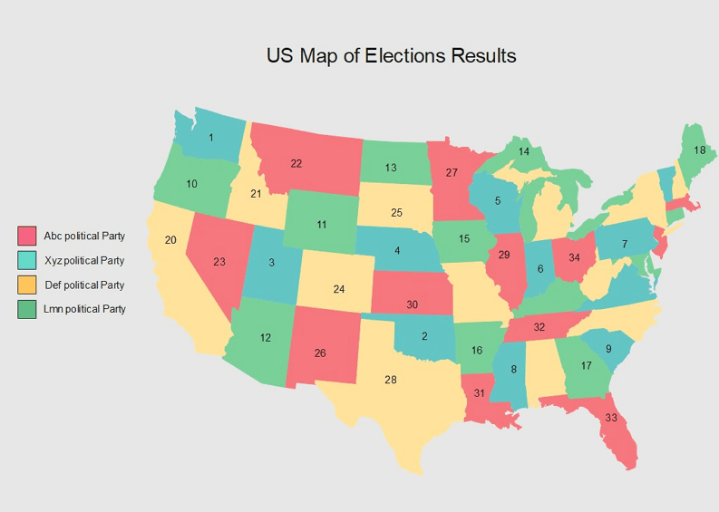
Here is the simple map that we made with some simple steps.
As a bonus, we have explained some terms associated with maps. Thorough knowledge can improve your experience of maps considerably. So, let's have a look.
1. Cartography: Cartography is a process that deals with the artistic, technological, and scientific making of maps. A person who does this is called a cartographer.
2. Axis: They are imaginary lines that act as a point of reference for taking measurements for a specific location.
3. Bearing: Also called the angular directions, bearings are a way of determining locations with reference to nearby lands or stars. The angle measured clockwise from the north is called bearing east, while the anticlockwise angle is called bearing west. The bearing has been a prevalent technique among pirates and sea travelers for ages.
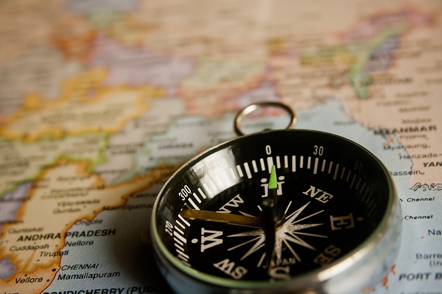
4. Compass: This is a tool that aids in determining the north position. It features a round dial and a needle that points towards the north, no matter what. Compasses are very useful, especially when someone is lost.
5. Cardinal Directions: Also sometimes called the map language of giving directions, this is a simple way of locating something with terms like North, South, East, and West. In cardinal directions, instead of instructing with left and right, we use the four main points of the compass.
Maps are a valuable tool that aids in navigation and determining the link between two distinct areas. They are a valuable means of analyzing the topography and attributes with statistics. Creating one is super easy with EdrawMax. The quick and easy-to-use interface and the gamut of editing tools can assist in creating one in a blink.